
The Crags Trail is a fantastic hike for while you’re camping at nearby Mueller Park. It follows the Four Mile Creek valley to the Crag formations on the ‘back side’ of Pikes Peak.
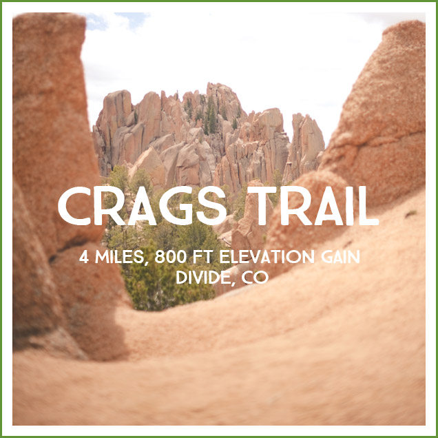
Pros: This is a great hike with lots of variability in the scenery. It’s a nice length for elementary school aged children and the Crag formations at the top are a good pay-off for your efforts.
Cons: The distance from Colorado Springs is the only thing that keeps us from enjoying this hike more often.
Distance/Difficulty: 4 miles, approximately 800 ft elevation gain. The majority of the hike is flat-ish, with the major push to the top at the end. This is a moderate difficulty hike for little legs, though Ellie made it to the top without being carried at 3. (She was carried on the way home…and she promptly fell Floppy Level Asleep in Nic’s arms.)
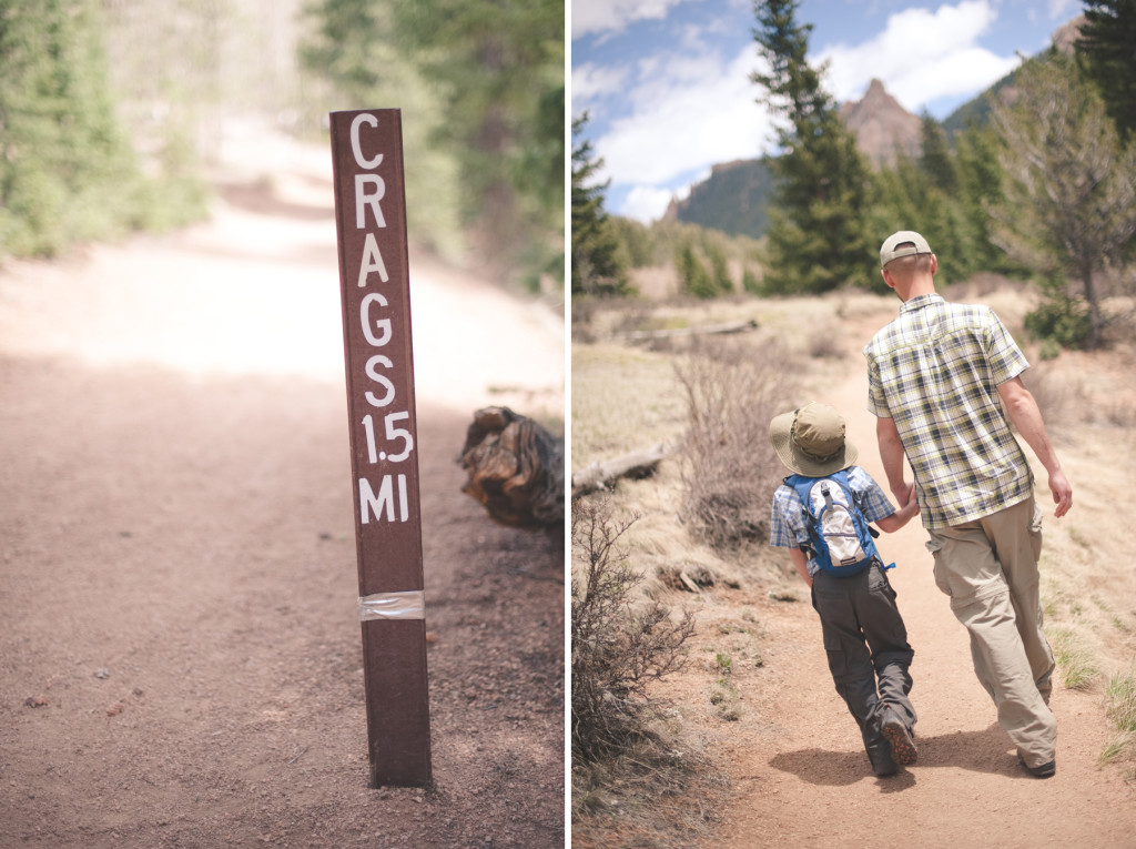
Directions: From Colorado Springs Trails: “Take US-24 west and turn left at traffic light in Divide. Drive south on US-67 for about 4 miles. Turn left to CR-62 right after you pass the entrance to Mueller State park on the right. Drive 3 miles on the dirt road and you will see the new trailhead parking lot on the right side. Crags campground located 1/4 of a mile further down the road is no longer used as the official trailhead.”
Trail Teaching:
- The first part of the trail is part of a route to the summit of Pikes Peak. Pikes Peak Granite is molten rock created approximately 1 billion years ago by volcanoes. The magma cooled into the Precambrian Pikes Peak Granite igneous intrusion known as the Pikes Peak Batholith. The magma was buried about 2 miles underground, so it took thousands of years to cool. The Crags are parts of this formation that have been exposed as the sedimentary rock above the Pikes Peak Batholith have eroded away. The formations were created by vertical fractures in the granite caused by stresses like the initial uplift of the Front Range (called the Laramide Orogeny). (This type of mountain building is responsible for the initially horizontal layers of rock being tilted upward and exposed in vertical layers.) Fractures allow water to seep in, freeze and expand, widen the fracture, and eventually break the granite apart in vertical slabs.
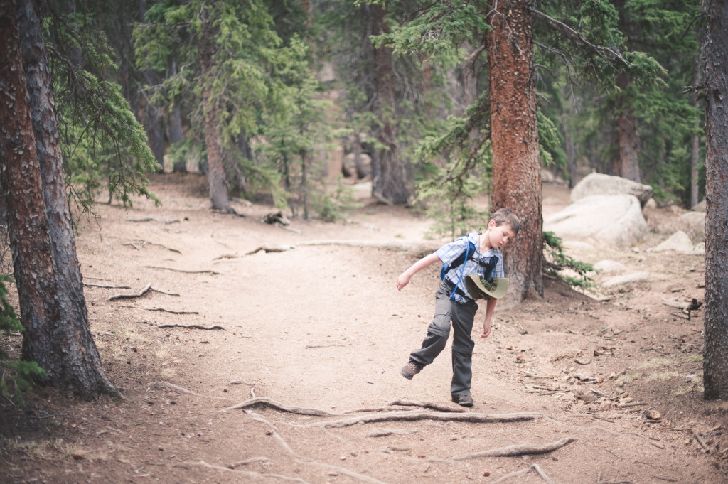
Photos:

Four mile creek hidden under ice and snow:
Further reading: Colorado Springs Trails and Every Trail have a good summary and Colorado Photo Hikes has a great number of photos.
![]()